 geo.be Metadata Catalog
aerial photograph
Type of resources
Available actions
Topics
INSPIRE themes
federalThemes
Keywords
Contact for the resource
Provided by
Years
Formats
Representation types
Update frequencies
status
Service types
Resolution
-

Orthophotos are digital aerial photographs that have been adjusted for lens distortion, topographic relief and camera tilt. This cover is renewed every three years.The orthophotographs have a minimal resolution of 50 cm. The dataset is generated from the harmonisation of the datasets owned by the Belgian administrative regions.The dataset is INSPIRE compliant. The dataset is downloadable per NGI mapsheet at scale 1:50000.
-
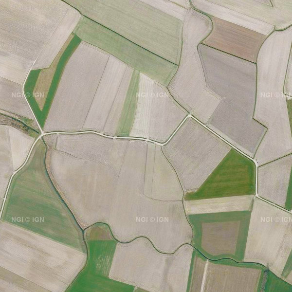
This service allows the visualization of a mosaic of orthophotos made for the whole Belgian territory. Access is possible through either a Web Map Service (WMS) or a Web Map Tile Service (WMTS, more powerful). Orthophotos are digital aerial photographs that have been adjusted for lens distortion, topography and camera tilt. The orthophotographs are metrically more accurate than common aerial photographs. They are very valuable as reference information and also, for instance, for surveying parcels. The orthophotographs mosaic is created based on digital, colour aerial photographs acquired by the Belgian Regions. It is georeferenced in the Lambert2008 coordinates system. This cover is renewed every year. The orthophotographs have a minimal resolution of 25 cm.
-
Orthophotographs are digital aerial photographs that have been adjusted for lens distortion, topographic relief and camera tilt. The orthophotographs are metrically more accurate than common aerial photographs. They are very valuable as reference information and also, for instance, for surveying parcels. This cover is renewed every year by the regions. The orthophotographs are produced on the basis of digital colour aerial photography. The orthophotographs have a minimal resolution of 25 cm. A mosaic of the orthophotos can be consulted on the map viewer or via the viewservices.